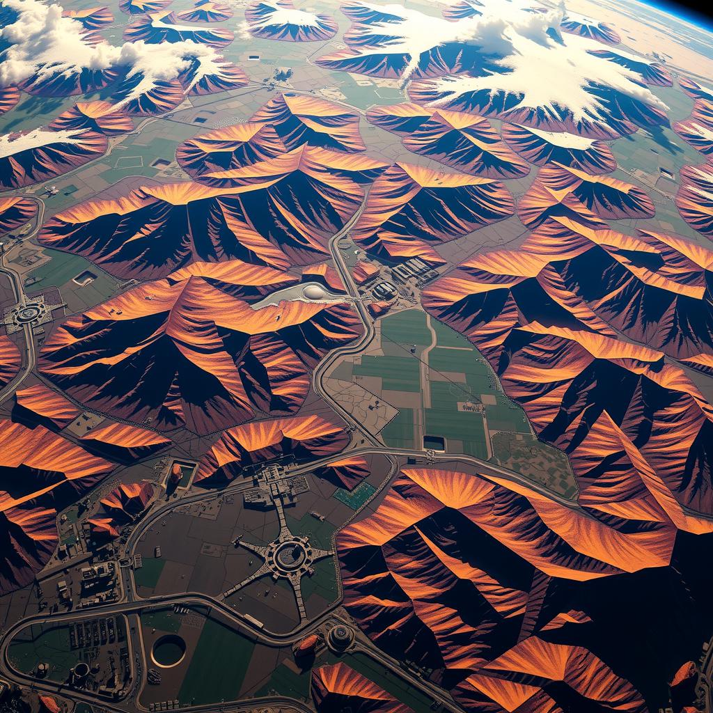
In an era where data drives decision-making, the ability to interpret complex satellite imagery has become increasingly vital. How can advanced techniques in CNN architecture enhance the accuracy and efficiency of image analysis in remote sensing? As global challenges such as climate change, urbanization, and disaster response escalate, leveraging deep learning techniques like CNN architecture provides innovative solutions for extracting critical information from vast datasets. This article delves into the intricacies of utilizing CNN architecture to optimize model performance and feature extraction processes specifically tailored for satellite images.
The core value of employing advanced CNN architecture lies in its capacity to improve visual recognition tasks that are pivotal for monitoring environmental changes or analyzing agricultural patterns from above. By harnessing sophisticated algorithms within this framework, researchers can automate data processing workflows that were traditionally labor-intensive and prone to human error. The result is a significant enhancement in both speed and accuracy when interpreting satellite images—making it an invaluable tool for professionals across various fields.
Moreover, integrating cutting-edge methodologies within CNN architecture not only refines existing models but opens new avenues for innovation in remote sensing applications. Techniques such as transfer learning or multi-scale feature extraction empower users to build robust models capable of recognizing subtle variations amidst diverse landscapes captured by satellites. These enhancements are crucial when dealing with high-resolution imagery where minute details can carry essential insights.
As this blog post unfolds, readers will discover how advanced techniques in CNN architecture, including novel training strategies and optimization methods, play a transformative role in image analysis specific to satellite data. By understanding these concepts better, stakeholders—from scientists researching climate patterns to industries managing land use—can effectively leverage these advancements for superior outcomes.
Thus begins a journey through the fascinating world of deep learning applied to satellite imagery—a realm where every pixel tells a story waiting to be uncovered through powerful technologies like CNN architecture. Join us as we explore groundbreaking approaches that promise not just enhanced capabilities but also profound impacts on our understanding of Earth’s dynamic systems.

Key Points:
-
Enhanced Feature Extraction: Utilizing advanced techniques within CNN architecture allows for more effective capture of intricate details in satellite imagery. This enhanced feature extraction is crucial for understanding complex geographic patterns, ultimately leading to improved visual recognition in various applications.
-
Optimized Model Performance: The implementation of innovative configurations and specialized layers in CNN architecture facilitates significant model optimization. These advancements lead to increased data processing efficiency, enabling researchers to manage vast datasets typical in remote sensing with greater ease and accuracy.
-
Transformative Remote Sensing Applications: By embracing cutting-edge strategies associated with CNN architecture, practitioners can unlock new possibilities for satellite imagery analysis. This transformation not only addresses existing limitations but also enhances predictive modeling capabilities, aiding fields such as agricultural monitoring and disaster response efforts through informed decision-making processes.

Understanding the Complexities of Satellite Imagery Processing
Navigating the Intricacies of Vast Datasets
The world of satellite imagery presents a unique set of challenges that stem from the sheer volume and complexity of data involved. As satellite technology advances, vast datasets are captured, providing insights into everything from environmental changes to urban development. This explosion in data necessitates advanced techniques for effective image analysis, where deep learning frameworks such as CNN Architecture come into play. These architectures excel at processing high-dimensional data by leveraging convolutional layers to perform feature extraction efficiently. The challenge lies not only in managing these large volumes but also in ensuring that the models can accurately interpret visual patterns inherent within the images.
As researchers and analysts work with remote sensing data, they encounter numerous obstacles related to noise, varying resolutions, and diverse atmospheric conditions that affect image quality. Moreover, traditional methods often fall short when it comes to recognizing complex features across different scales; hence there has been a shift towards employing deep learning strategies like CNN Architecture which enhance model optimization through hierarchical representations of input data. By utilizing this architecture, practitioners can effectively train models on extensive datasets while achieving remarkable improvements in visual recognition tasks.
The Role of Advanced Techniques in Data Processing
In addition to addressing challenges associated with raw dataset sizes and complexities, advanced techniques focusing on model optimization are crucial for extracting meaningful insights from satellite imagery. Implementing innovative approaches using CNN Architecture allows for robust handling of spatial hierarchies within images—enabling systems to identify specific features such as land cover classifications or object detection even amidst cluttered backgrounds or occlusions caused by clouds or other atmospheric phenomena.
Furthermore, integrating various preprocessing steps is essential for enhancing image quality before applying any deep learning algorithms. These processes may include normalization procedures aimed at reducing variations caused by illumination changes among other factors impacting remote sensing accuracy. Such meticulous attention ensures that subsequent analyses yield reliable results without being hindered by extraneous variables present in raw imagery.
Ultimately, understanding these intricacies is vital for those engaged with satellite imagery applications across multiple fields including agriculture monitoring or disaster response management among others. With advancements continually emerging in computational capabilities alongside refined methodologies harnessing CNN Architecture, future prospects look promising for overcoming existing hurdles linked with interpreting complex visual patterns found within satellite images—fostering innovation toward sustainable solutions backed by precise analytical intelligence derived from Earth observation technologies.
Transforming Satellite Imagery Analysis
Harnessing the Power of Advanced CNN Architectures
The advent of CNN architecture has marked a significant turning point in the realm of satellite image analysis. As remote sensing technologies evolve, researchers are increasingly turning to advanced techniques within deep learning to enhance feature extraction processes critical for interpreting complex data sets. The integration of convolutional neural networks (CNNs) not only streamlines data processing but also optimizes model performance by efficiently identifying patterns and anomalies within vast arrays of satellite imagery. This transformative approach allows for higher accuracy in visual recognition tasks, such as land cover classification, urban planning assessments, and environmental monitoring. By employing multi-scale CNN architectures that utilize varying kernel sizes and pooling strategies, analysts can capture intricate details at different resolutions—an essential requirement when dealing with heterogeneous landscapes observed from orbit.
Innovative Techniques in Feature Extraction
Enhancing Model Performance through Deep Learning
In addition to structural advancements in CNN architecture, innovative techniques have emerged that significantly bolster feature extraction capabilities specifically tailored for satellite images. These methods harness the strengths of deep learning frameworks to refine how models interpret spectral information across various wavelengths captured by satellites. For instance, attention mechanisms integrated into CNNs enable models to focus on relevant features while minimizing noise interference—a common challenge when analyzing multispectral or hyperspectral datasets. Furthermore, utilizing transfer learning approaches allows existing pre-trained models on large scale datasets to be fine-tuned on specific satellite imagery tasks; this not only accelerates training times but also enhances overall predictive accuracy without extensive computational resources. As these advanced techniques continue to gain traction in research and commercial applications alike, they pave the way for more robust systems capable of tackling diverse challenges inherent in remote sensing.
The Future Landscape of Satellite Image Analysis
Bridging Technology with Practical Applications
The convergence between innovation within CNN architecture and practical applications heralds a new era for satellite image analysis across numerous fields including agriculture, disaster response, and urban development planning. Employing state-of-the-art deep learning algorithms equips professionals with tools necessary not just for effective data interpretation but also for making informed decisions based on real-time insights derived from processed imagery. With ongoing advancements focusing on optimizing model efficiency alongside enhancing feature extraction methods through sophisticated neural network designs—such as residual connections or dense blocks—the future looks promising for stakeholders engaged in remote sensing activities globally. Moreover, collaborations between academia and industry will likely accelerate breakthroughs further refining these methodologies ensuring they remain adaptable amidst evolving technological landscapes while meeting burgeoning demands across various sectors reliant upon accurate spatial analyses.
Harnessing Satellite Imagery for Agriculture Monitoring
Revolutionizing Crop Management through Advanced Techniques
In the realm of agriculture, remote sensing has emerged as a transformative force, significantly enhancing decision-making processes. By utilizing satellite imagery, farmers and agronomists can monitor crop health with unprecedented precision. These advanced methodologies leverage deep learning techniques such as CNN architecture (Convolutional Neural Networks) for effective image analysis, enabling the extraction of vital features from vast datasets. Through this process, growers are capable of identifying stress factors affecting crops well before they become visible to the naked eye. For instance, variations in plant color captured in satellite images can signal nutrient deficiencies or pest infestations that require immediate attention. Moreover, these technologies facilitate model optimization by allowing users to calibrate predictive models based on real-time data; thus maximizing yield while minimizing resource expenditure.
The integration of remote sensing into agricultural practices does not merely enhance visibility but also fosters a more sustainable approach to farming. With accurate data processing capabilities provided by CNNs and other deep learning frameworks, stakeholders can make informed decisions regarding irrigation schedules and fertilizer applications tailored specifically to each field’s needs. This granularity is crucial because it empowers farmers to allocate resources efficiently—reducing water usage during drought periods and limiting chemical inputs when conditions don’t warrant them. Consequently, this targeted approach not only boosts productivity but also mitigates environmental impacts associated with conventional farming methods.
Enhancing Disaster Response Through Advanced Image Analysis
Utilizing Remote Sensing Technologies for Timely Interventions
Disaster management has greatly benefited from advancements in remote sensing technologies powered by sophisticated algorithms like those found in CNN architecture. In times of natural calamities such as floods or wildfires, rapid access to satellite imagery allows emergency responders to assess damage quickly and accurately—an essential factor that influences their operational strategies during crises. The ability to analyze visual data effectively enables authorities to prioritize areas requiring immediate intervention while optimizing resource allocation across affected regions.
Furthermore, incorporating deep learning into disaster response enhances predictive modeling capabilities by analyzing historical patterns alongside current satellite feeds—offering valuable insights into potential future scenarios based on changing conditions observed over time through high-resolution imaging techniques. For example, analyzing terrain changes pre- and post-disaster provides critical information about risk assessment levels which aids officials in devising safer evacuation plans or determining safe zones for displaced populations seeking refuge from hazards.
Engagement with local communities benefits immensely from these methodologies too; public awareness campaigns supported by real-time monitoring empower residents living near susceptible areas with knowledge about upcoming threats derived from processed imagery analyses conducted via CNN architectures applied within an extensive range of datasets available globally.
Transforming Environmental Monitoring Using Deep Learning
A New Era for Observing Ecological Changes
Remote sensing technologies have ushered in a new era for environmental monitoring—a necessity given our rapidly changing planet due largely in part due toward anthropogenic influences affecting ecosystems worldwide today increasingly relying upon precise image analysis tools enabled by innovations stemming primarily out-of systems employing complex models like those built upon robust CNN architectures designed exclusively around feature extraction objectives directly influencing outcomes pertaining towards sustainability initiatives pursued globally at large scales across varying contexts spanning urban centers down rural landscapes alike!
For instance: scientists studying deforestation rates utilize high-resolution satellite images coupled alongside machine learning algorithms capable extracting relevant indicators concerning vegetation cover loss across diverse terrains thereby facilitating timely interventions aimed combating climate change effects arising thereof successfully illustrating how powerful tools offered up through modern-day technological advances enable critical assessments leading actionable insights informing policy decisions ultimately benefiting future generations striving maintain balance between development progress environmental preservation!
Moreover—with ongoing developments improving accuracy within automated visual recognition processes researchers gain deeper understanding interactions among species habitat dynamics fostering conservation efforts paramount safeguarding biodiversity long-term protecting fragile ecosystems threatened exploitation resulting industrial expansion human activity establishing stronger foundations resilient societies equipped adapt challenges ahead!
Bridging Gaps Between Data Sources Via Integrated Approaches
Collaborative Frameworks Enhance Decision-Making Capabilities
Ultimately—the fusion between various sources combined together utilizing contemporary advancements made possible thanks again primarily driven innovation surrounding approaches founded principles underlying convolution neural networks known widely throughout community remains invaluable asset enhancing overall effectiveness tackling complex issues faced society today encompassing wide variety domains stretching far beyond traditional boundaries existing previously disconnect often encountered prior engagement utilized alone without cohesion present day signifies shift towards integrated systems linking multiple disciplines provides holistic solutions addressing multifaceted problems experienced consistently highlighting importance collaboration integral success achieving optimal outcomes realized collectively uniting expertise harness technology advancing societal goals beneficially promoting shared prosperity!
Frequently Asked Questions:
Q: What are the main advantages of using CNN architecture for satellite imagery analysis?
A: Utilizing CNN architecture in satellite imagery analysis offers significant advantages, including enhanced feature extraction capabilities and improved model optimization. These advanced techniques allow for more efficient data processing, enabling researchers to derive valuable insights from vast datasets while achieving higher accuracy in visual recognition tasks.
Q: How do innovative CNN architectures address the challenges of traditional methods in remote sensing?
A: Innovative CNN architectures tackle the limitations of traditional image analysis methods by incorporating specialized layers and configurations that better capture intricate details within satellite images. This adaptability leads to a richer understanding of geographic phenomena and enhances predictive modeling, ultimately informing decision-making processes across various fields.
Q: In what ways can advancements in deep learning CNN architectures impact real-world applications like disaster response or agricultural monitoring?
A: Advancements in deep learning CNN architectures significantly impact real-world applications by optimizing performance in tasks such as disaster response and agricultural monitoring. By leveraging these cutting-edge strategies for image analysis, practitioners can improve their ability to monitor environmental changes and respond effectively to emergencies, thus unlocking new possibilities within remote sensing technologies.
